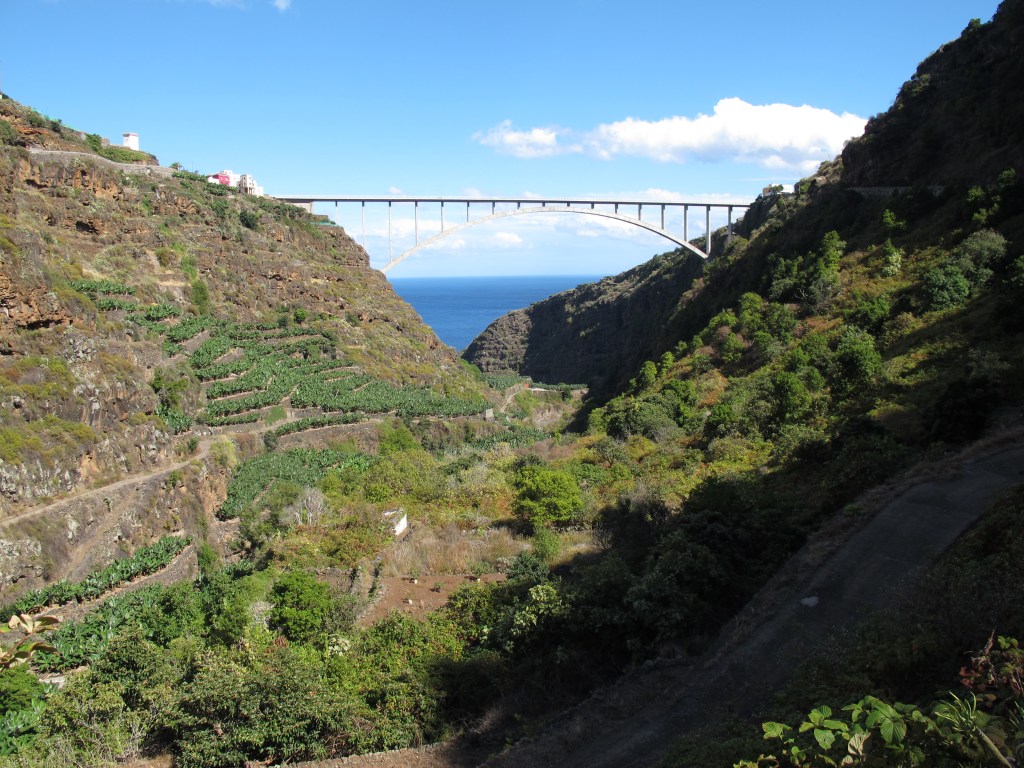
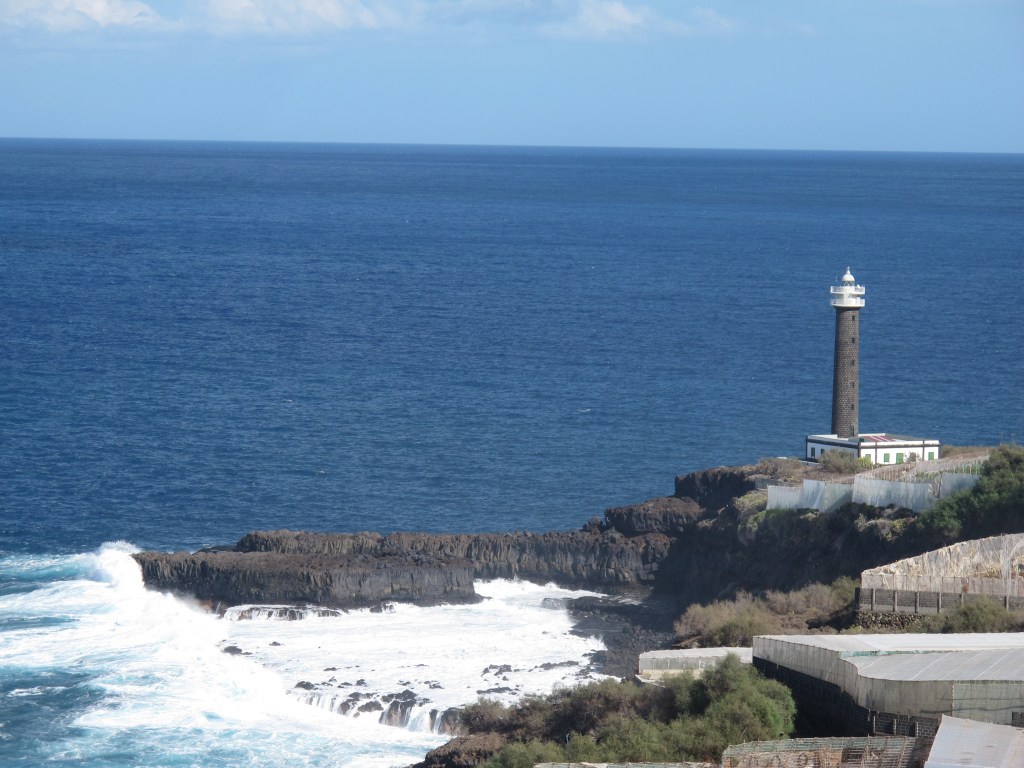
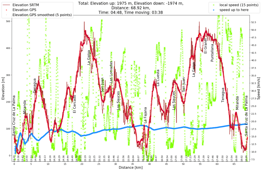
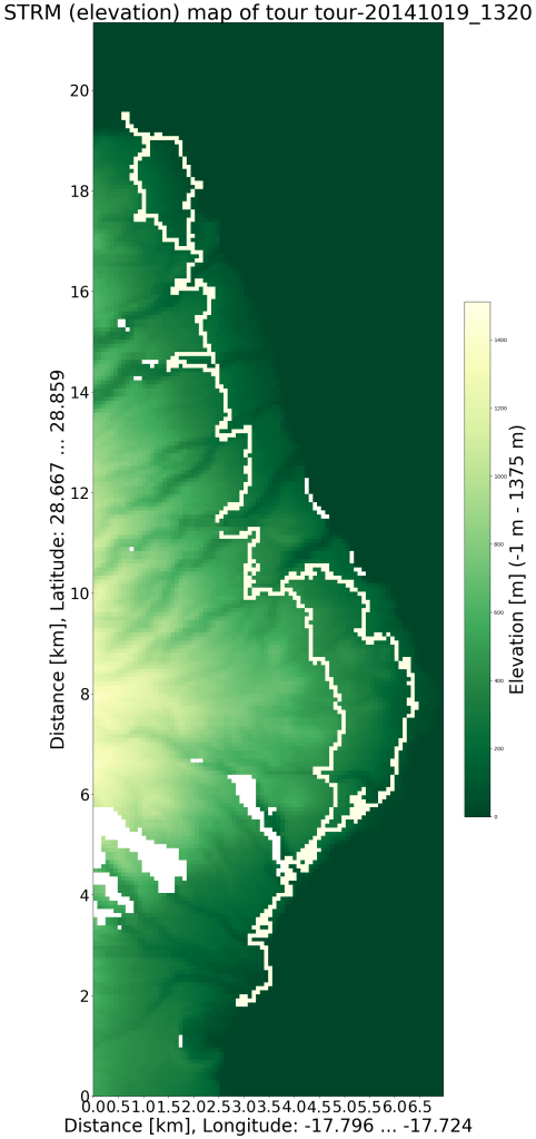
After my second weekend bike tour on La Palma (described in La Palma (6)) on Saturday, I was already back on my bike on Sunday. I had sent the bike from Germany to La Palma and had to do without it for 3 weeks, apparently I then tried to make up for the bike withdrawal. In any case, I was much fitter than now that I’m writing about it, I can’t imagine so many meters of altitude on two days in a row at the moment. After heading south yesterday and heading west last Sunday, with only sea to the east, the logical conclusion was to head north this time. I also enjoyed this tour, so many views and experiences to take in. At the end I was really happy when it was almost all downhill from Puntallana.

Leave a comment