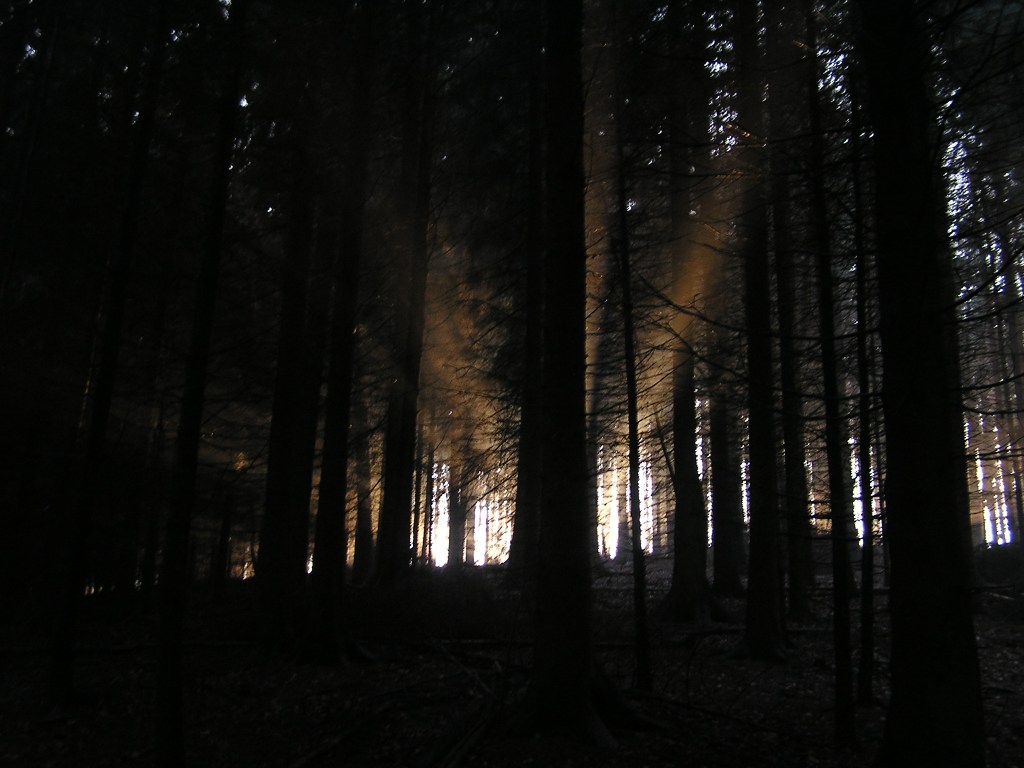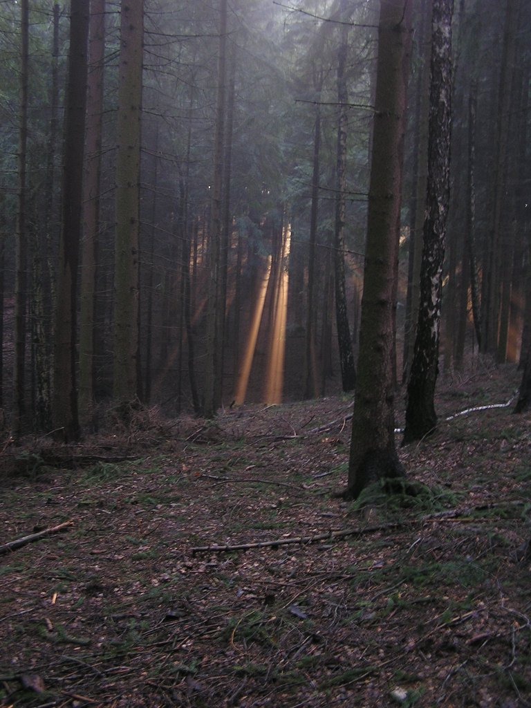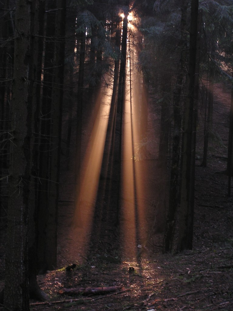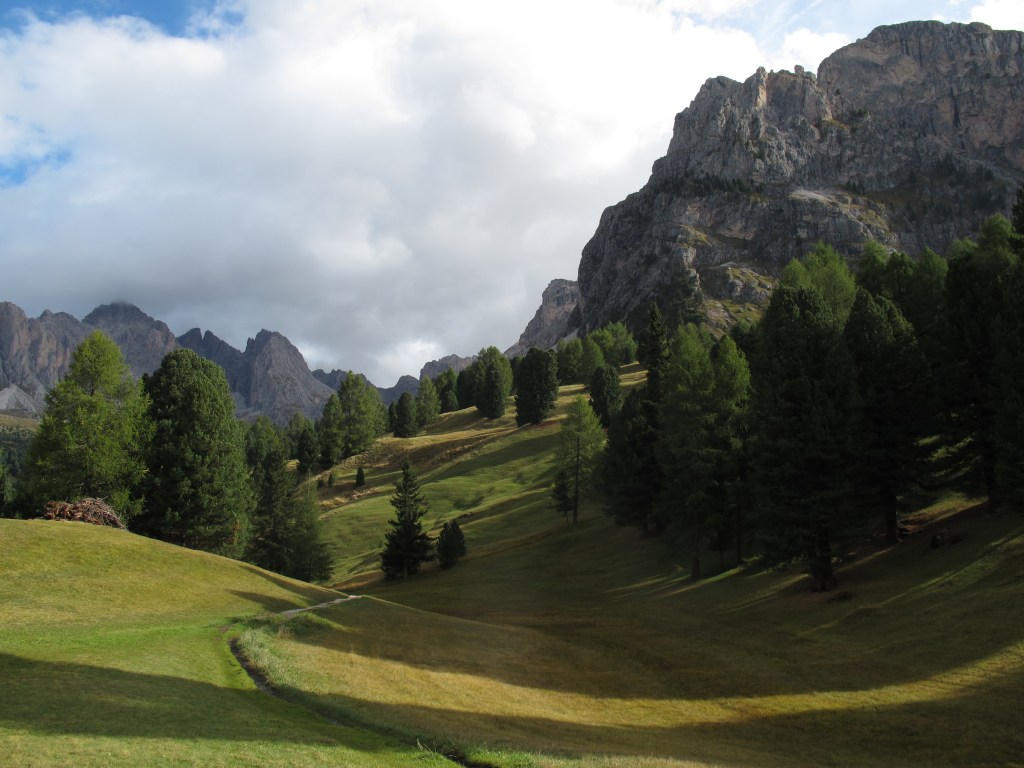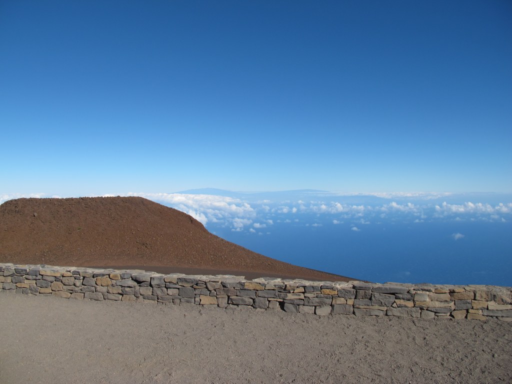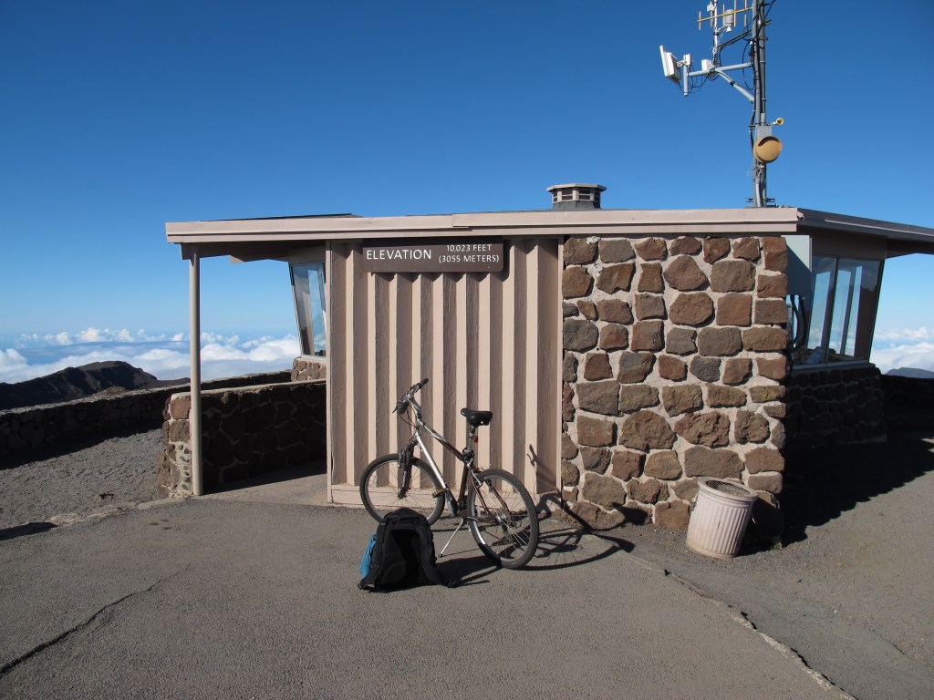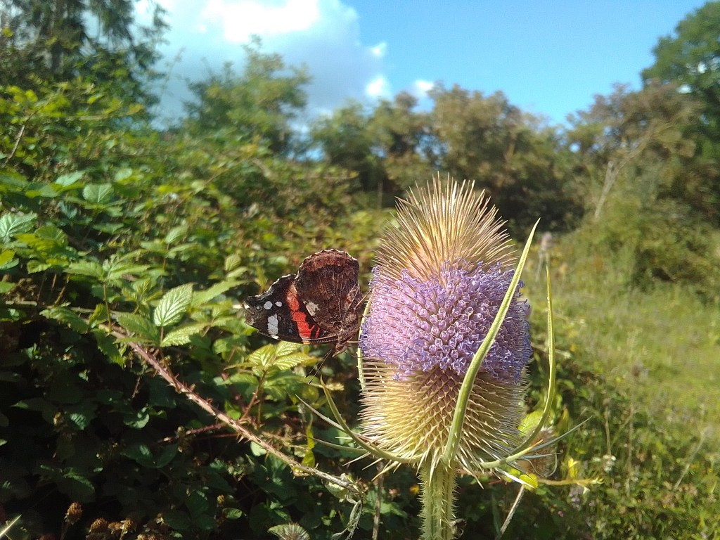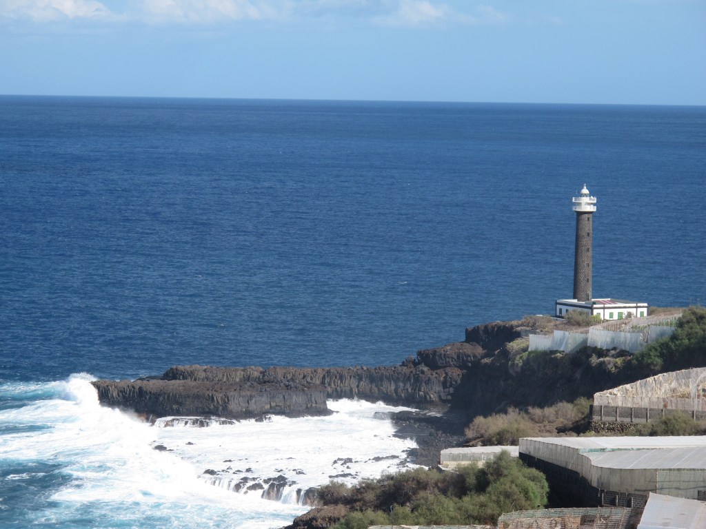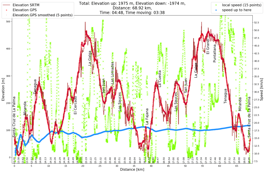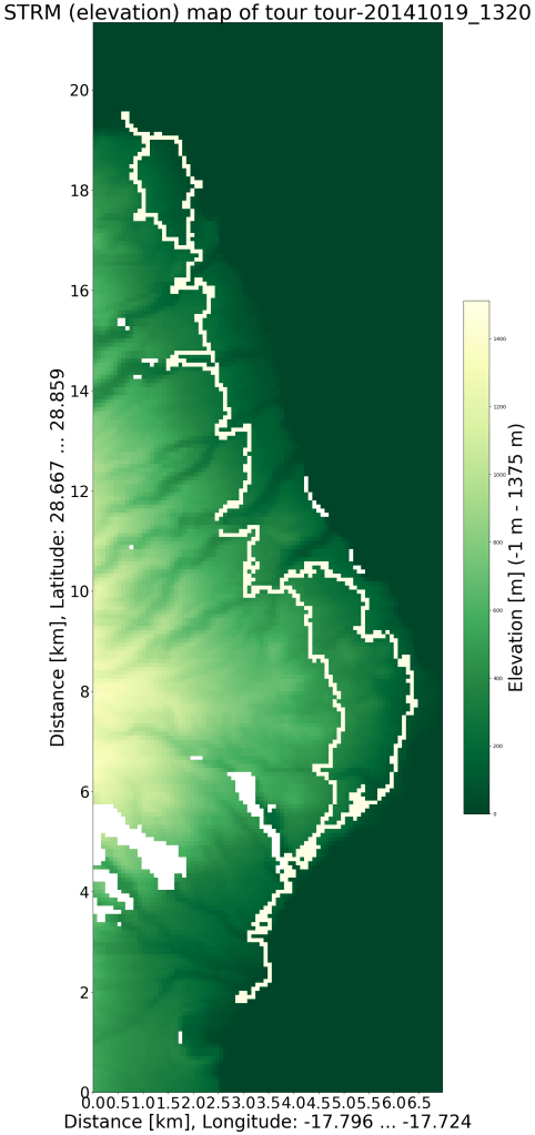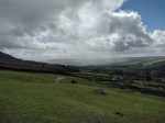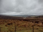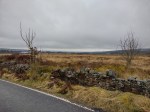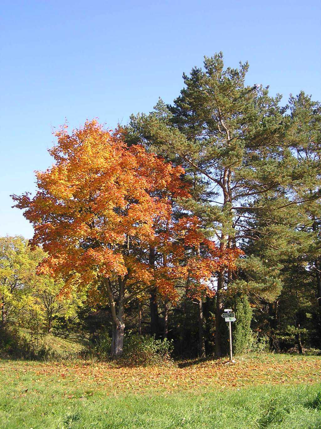

It was good to get out on the day, the colors were just great. And I guess I enjoyed the sunshine in October. Without the picture I would completely miss the memories of the day.
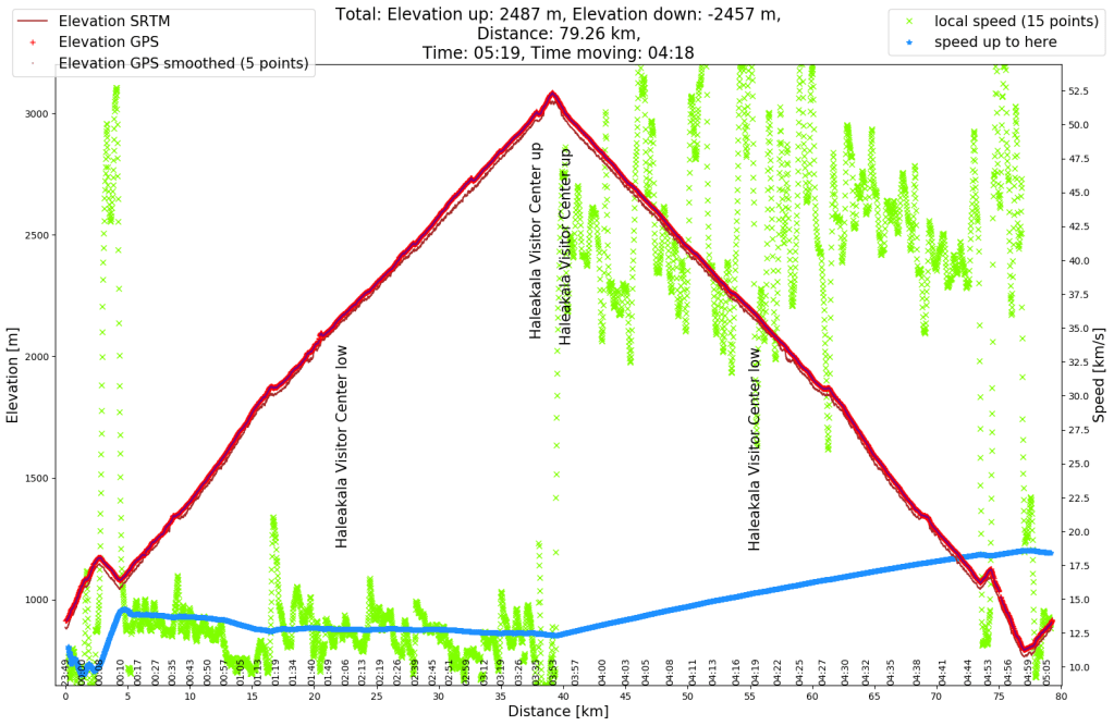
But what I’ve been thinking about now is how often I probably wasn’t outside back then, despite the nice weather. Sometimes it’s hard to get the motivation to take a short trip outside. And I remember days when I was later annoyed at myself that I didn’t get out. A few minutes ago I was thinking about riding my bicycle for another hour and made the conscious decision that I didn’t want to do that. A conscious decision is a significant improvement compared to some years ago, when it was a non-decision. But, now that I’ve written this post, I’ll change my mind again and see if I can find some sun.