La Palma 2014 (6)

Pine forest and volcanic sand forest path close to Los Canarios (Fuencaliente), south of La Palma, Spain

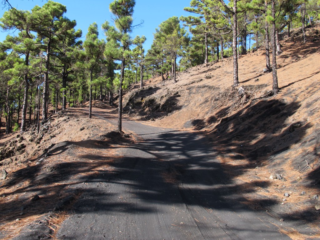
My second weekend bike tour on La Palma (the first is described in La Palma (5)) led south and steadily uphill again. Since I didn’t want to go back to the west side of the island, I used one of the forest paths back. From then on it was very quiet and I didn’t see anyone for a long time. The change in vegetation was also very interesting, from very dry landscape to pine forests and later evergreen laurel forests. In the end I came out again at the Refugio de El Pilar at 1500m. The return trip was great again, the pleasure of converting the work of the last few hours into speed and the wind in your face just felt good.

Evergreen laurel forest and the clouds that keep it green on La Palma, Spain
Elevation profile (red) and speed profile (green) from my bike tour. I was definitely faster downhill than uphill. And on the road I was faster than on gravel. You can also count the numbers of hairpin bends going downhill, because I slowed down a bit for them.
Geographic map using the STRM data with my route, created with https://github.com/ronnyerrmann/cycle_logging

Leave a Reply

Fill in your details below or click an icon to log in:

WordPress.com Logo

You are commenting using your WordPress.com account. Log Out /  Change )

Facebook photo

You are commenting using your Facebook account. Log Out /  Change )

Connecting to %s

%d bloggers like this: