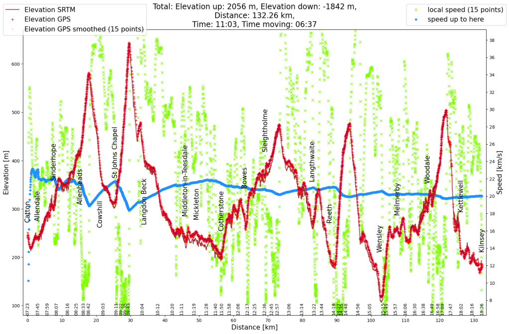
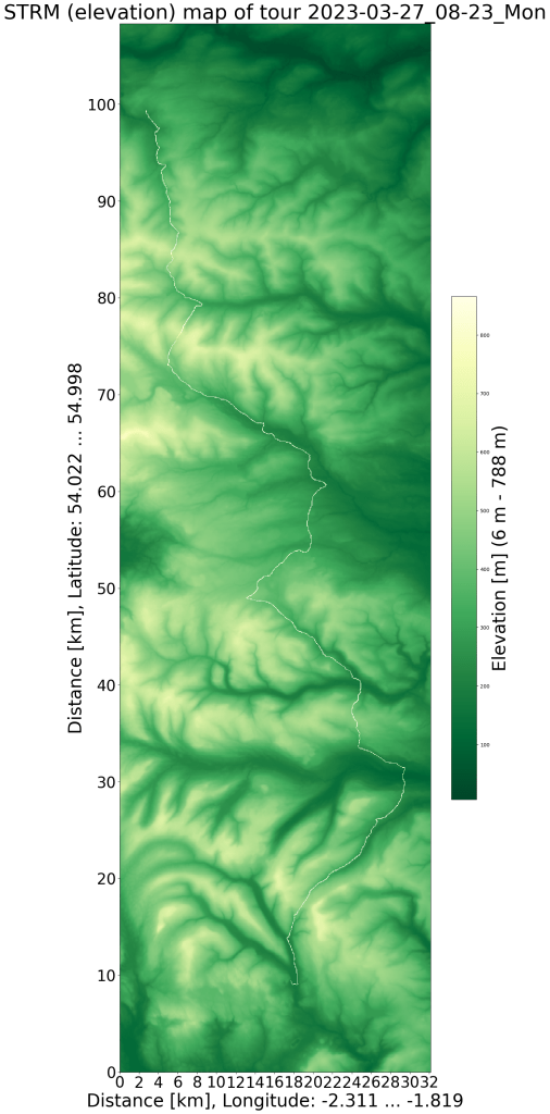
I traveled to Northumberland (in the north of England, almost on the Scottish border) for an event at the end of March. The week after the event I took leave to explore a little more of England. This is the second day of the bicycle tour.
A little later than I had hoped, after a comfortable night and a full English breakfast, I was back on my bike at 8:30 a.m. and continued cycling in the valley of the East Allen. The late start also had an advantage: the sun was able to warm up the streets a bit. On the previous day there was another sleet shower and during the night the temperature was below 0°C. The sunshine made up for the cold weather.
The slight incline kept me warm and since the streets were so empty I was lokking for a way to share my excitement. And so the time-lapse video below shows the last kilometer to the pass, which is also the border between Northumberland and the County of Durham.
The descent into the valley of the River Wear was fun. After a few kilometers in the valley, however, I wondered why I planned the route the way I planned it. The ascent to the next pass became visible.
At the top I passed the highest point of the entire tour. The view from this pass was similar to the first. And this descent was great too. This time the tour stayed a little longer along the valley. And suddenly there was a lot more traffic and tourists due to the proximity to High Force Waterfall. However, I didn’t do the small hike to the waterfall, I was more looking for a cozy place in the sun to have a second breakfast, which I ended up enjoying sitting on a wall.
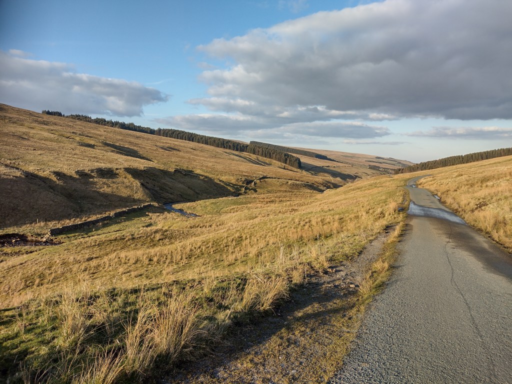
From then on the landscape became hilly, I found myself on the border between the North Pennines and the Yorkshire Dales. I went a short distance along an old railway line. But the experience was disappointing. Although the ground surface was mostly okay, all bridges were removed and every time you crossed a (non-public) field path you had to go through two gates. There were about 14 to 20 gates over 3 kilometers, a lot of stopping.
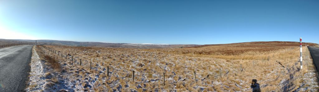
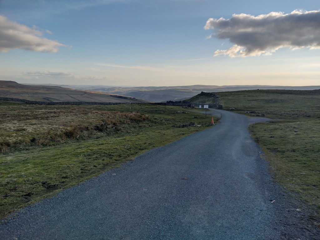
Cycle Route 70 took me into the Yorkshire Dales. What started as a small road got narrower and became a good gravel road, then a gravel road with lots of holes and finally washed-out gravel. I probably used more energy there for 4 km than for 20 km of road. The nice part was, that again I was really alone there. No houses to be seen, no cars or other machinery to be heard, just a few birds on the heath. And what was very positive was that afterwards I was able to consciously enjoy the asphalt paths again.
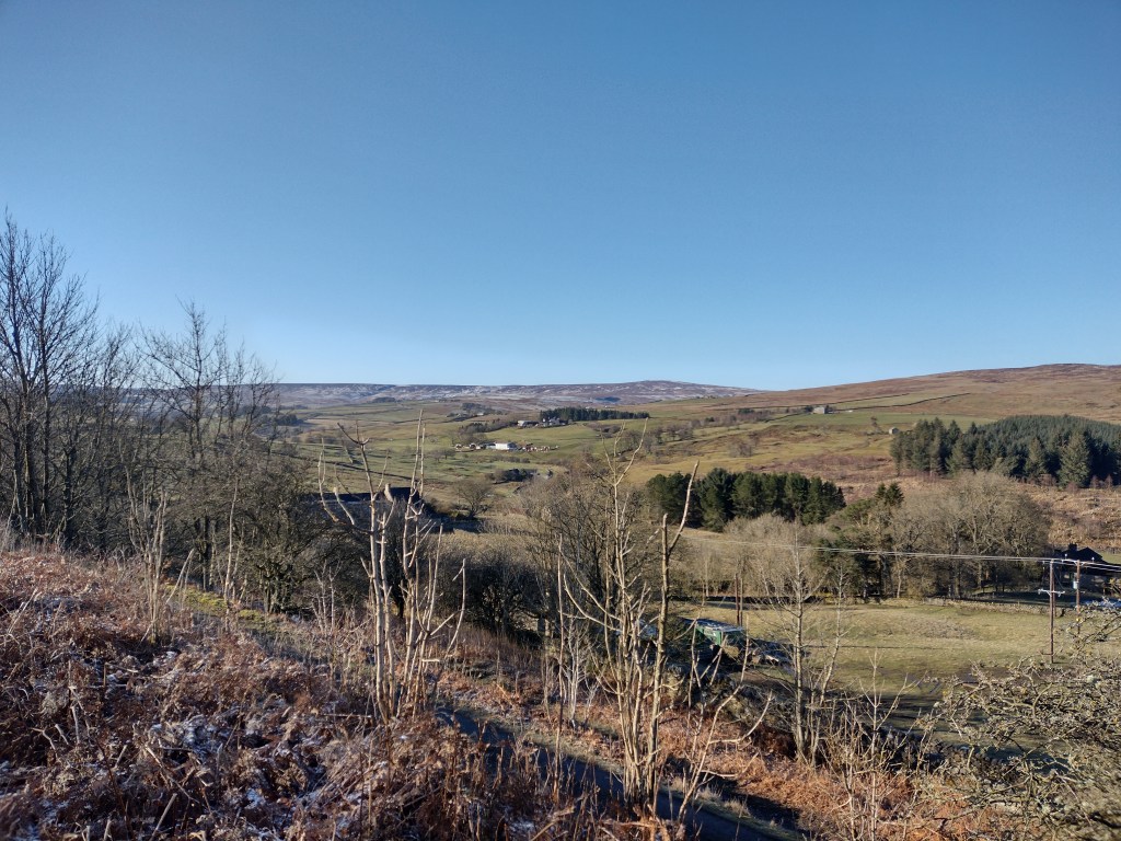
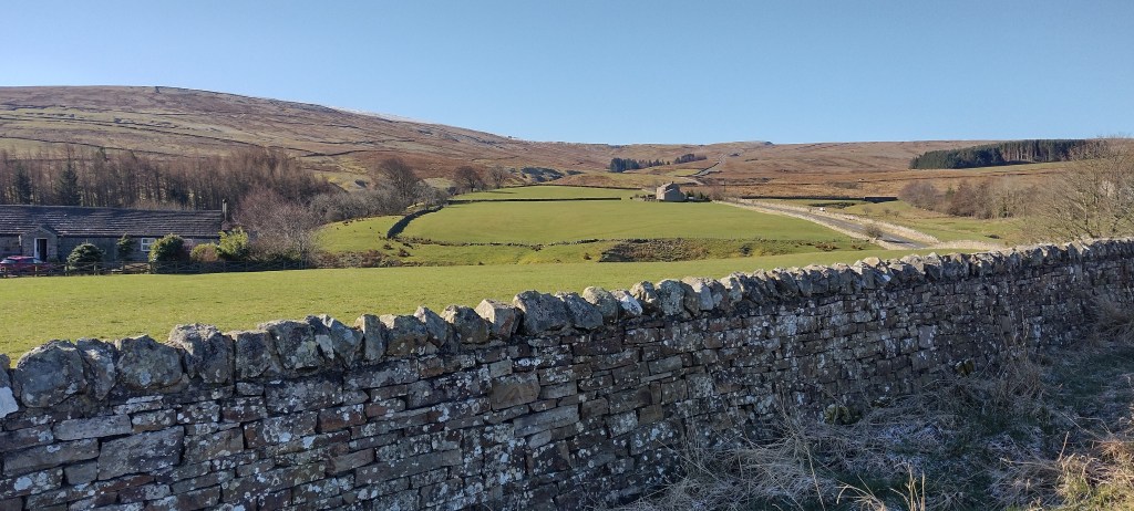
And on this, cycle path 71 led me back to the next valley, where I could refill my carbohydrates in a café. After crossing the river Swale the tour went up to the next bog. When looking for lodging at my second breakfast I was hoping to find somewhere in the next valley to stay, however everything I found was above what I wanted to spend. And so I booked accommodation that was one ridge further away. So the lowest point of the day was not the end of today’s tour. Instead I was able to explore the Yorkshire Dales National Park.
When I started cycling up the Cover River valley I was in good spirits. It was already 5 p.m., but mostly sunny. I enjoyed another meal on a wall before passing the last few houses and courtyards. For the next 5 km I again met no one on the road and enjoyed the tranquility and scenery. As usual in these valleys I had no phone signal, which at 6 p.m. doesn’t feel quite as relaxing as 3 p.m.

But since I also knew that it would take me a maximum of 15 minutes to climb 100 meters in altitude, it was also clear to me that I would arrive at 7 p.m. without any problems.
Parts of the ride down into the valley was again very enjoyable. Only the section with a 25% gradient was simply too steep. I prefer wind resistance as a brake, but if it’s too steep you have to brake yourself. And with that, I’m destroying the work that I previously put into driving uphill (or better: converting it into warm wheel rims).
From here it could have been a relaxed few minutes to the accommodation, but the gearshift threw a spanner in the works and refused to change to higher gears. In first gear, flat stretches would have become very tiring. But fortunately I was able to change gears directly on the hub, so that I managed the last stretch to the accommodation alright by setting it to a middle gear. After a shower I also found a pub for dinner.

Leave a comment